Eyes in the Sky: Top 5 Applications of Drones in Modern Agriculture
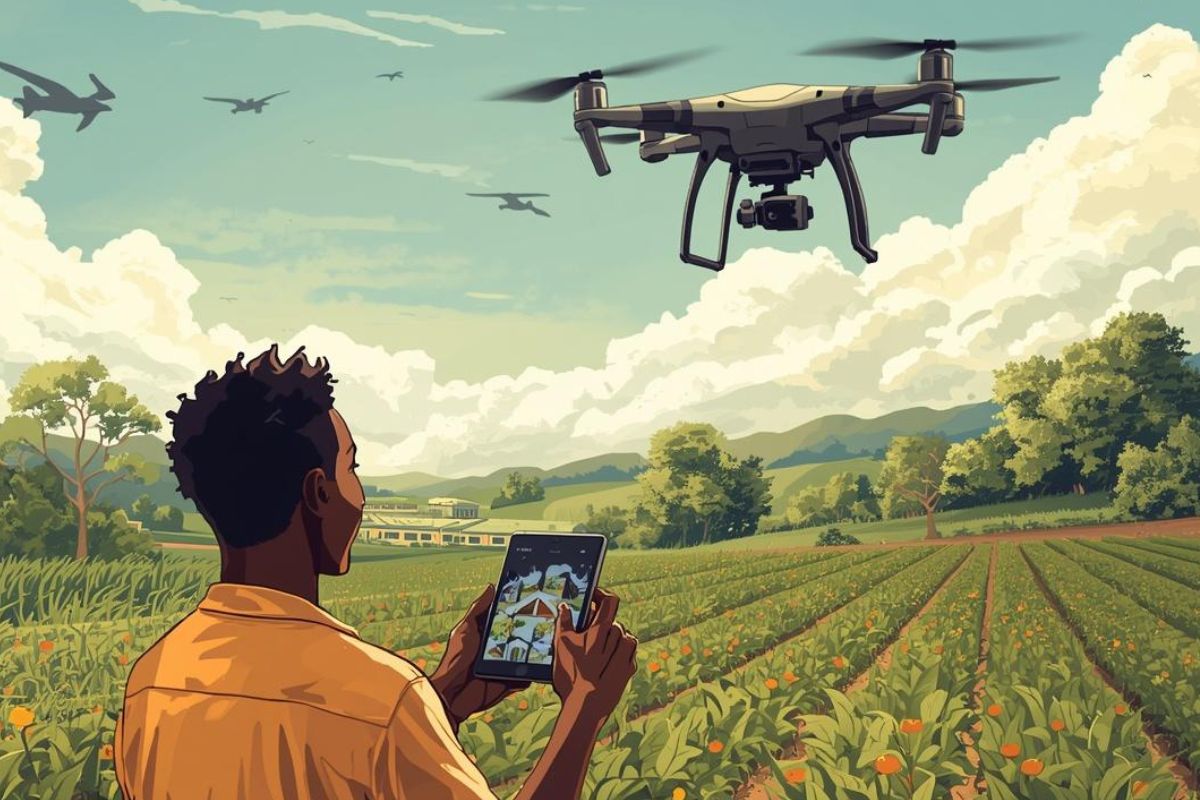
Agriculture is entering a new era. Across Sub-Saharan Africa and beyond, drone technology is no longer a futuristic concept, it is a practical, accessible tool helping farmers make smarter decisions, reduce waste, and dramatically improve farm productivity.
Agricultural drones provide farmers with high-resolution aerial data that can reveal patterns across fields that are difficult to observe from the ground. With advanced sensors, cameras, and automation capabilities, drones are helping farmers monitor crops, optimize resources, and respond quickly to potential threats.
Below are some of the most important applications of drones in modern agriculture.
1. Crop Health Monitoring
One of the most powerful uses of agricultural drones is monitoring the health of crops at scale. Equipped with multispectral cameras, drones can capture data across multiple light spectra, including near-infrared (NIR) that the naked eye simply cannot detect. This enables the calculation of the Normalized Difference Vegetation Index (NDVI), a reliable indicator of plant vigour and chlorophyll content.
Instead of walking kilometres of farmland hoping to spot problems, a drone can survey hundreds of acres in a single flight and generate colour-coded health maps within minutes. These maps reveal stressed zones before visible symptoms appear, whether from disease, pest infestation, nutrient deficiency, or waterlogging.
Why it matters for African farmers: Early detection of crop stress, sometimes weeks before symptoms are visible to the human eye, gives farmers a critical window to intervene, saving entire sections of a harvest that would otherwise be lost.
2. Precision Crop Spraying
Traditional crop spraying methods, whether by hand, tractor, or manned aircraft — apply inputs uniformly across entire fields, regardless of whether every square metre actually needs treatment. This leads to overuse of expensive agrochemicals, increased runoff that contaminates water sources, and unnecessary crop stress from excessive chemical exposure.
Drone spraying solves this with precision. Using data from prior health scans, sprayer drones can be programmed to target only the areas that require treatment, applying pesticides, herbicides, or fertilisers at variable rates dictated by real field conditions. The result is significant cost savings, studies have shown reductions in chemical use of up to 30–40% compared to conventional methods, alongside better environmental outcomes.
Operational advantage: Drone sprayers operate close to the crop canopy, increasing deposition efficiency and reducing drift. They can access waterlogged or hilly terrain where ground machinery cannot safely travel.
3. Irrigation Management
Water is among the most precious and mismanaged resources in African agriculture. Over-irrigation drains costly groundwater, leaches nutrients from soil, and encourages root disease. Under-irrigation quietly stresses plants, reducing photosynthesis, lowering yields, and ultimately cutting farmer incomes. Drones equipped with thermal and multispectral sensors offer a smarter path.
By detecting temperature differences across a field, stressed water-deficient crops register warmer than well-hydrated ones, drones generate irrigation maps that show exactly where, when, and how much water is needed. This intelligence feeds directly into variable-rate irrigation systems, scheduling water delivery with surgical precision.
Water savings potential: Precision irrigation informed by drone data can reduce water consumption by 20–50% on some crop types, a transformative outcome for smallholders in water-scarce regions.
4. Soil and Field Analysis
Before a single seed goes into the ground, drones can already be earning their keep. High-resolution drone surveys produce detailed topographic models, accurate 3D representations of field elevation, contour, and drainage pathways. These models guide decisions about land levelling, drainage infrastructure, and where to position different crop varieties based on soil type and water retention characteristics.
Drones fitted with specialised sensors can also identify variations in soil texture, organic matter content, and compaction levels across a field. Compacted zones, common in areas with heavy machinery traffic, reduce root penetration and water infiltration, dragging down yields in those patches. Identifying and addressing these zones before planting makes a measurable difference in crop establishment.
Planning value: Drone-generated soil and elevation maps allow farmers and agronomists to build variable-rate seeding plans, placing higher seed densities in high-potential zones and reducing inputs where conditions are marginal.
5. Crop Damage Assessment
When floods, droughts, hailstorms, fires, or pest swarms strike, farmers need fast, accurate damage assessments to make critical replanting decisions — and to substantiate insurance claims. Manual inspection of large farms is slow, physically demanding, and often incomplete. Drones change the calculus entirely.
Within hours of a damage event, drones can survey entire farms and produce georeferenced damage maps that quantify exactly how much of a crop has been affected, and how severely. These reports distinguish between total loss zones and areas with partial damage where recovery is possible, enabling farmers and agronomists to prioritise resources and plan targeted replanting.
For agricultural insurers and development organisations operating at scale, drone-based damage assessment provides the consistent, auditable documentation needed to process claims fairly and efficiently — reducing disputes and accelerating payouts to farmers who need support most.
Beyond the crisis moment: Systematic post-damage data builds valuable long-term records of where, how often, and how severely specific fields are impacted by climate events, informing future crop selection, insurance pricing, and infrastructure investment.
Conclusion: The Future of Farming Is Aerial
Across these five domains, health monitoring, precision spraying, irrigation management, soil analysis, and damage assessment, drone technology offers African farmers something that has historically been out of reach: farm-level intelligence at scale, delivered in near real-time.
The barriers to adoption are real. Hardware costs, connectivity limitations, and the need for skilled operators remain genuine challenges. But as drone technology matures, costs fall, and platforms like CropSense Africa expand access to drone-derived data and analytics, the opportunity for smallholders and large-scale farmers alike to farm smarter is growing every season.
Agriculture that responds to what the land actually needs, not what a uniform schedule assumes, is not only more productive. It is more resilient, more sustainable, and ultimately more equitable.


